Soil-Plant-Atmosphere Continuum

Soil-Plant-Atmosphere Continuum

Soil-Plant-Atmosphere Continuum

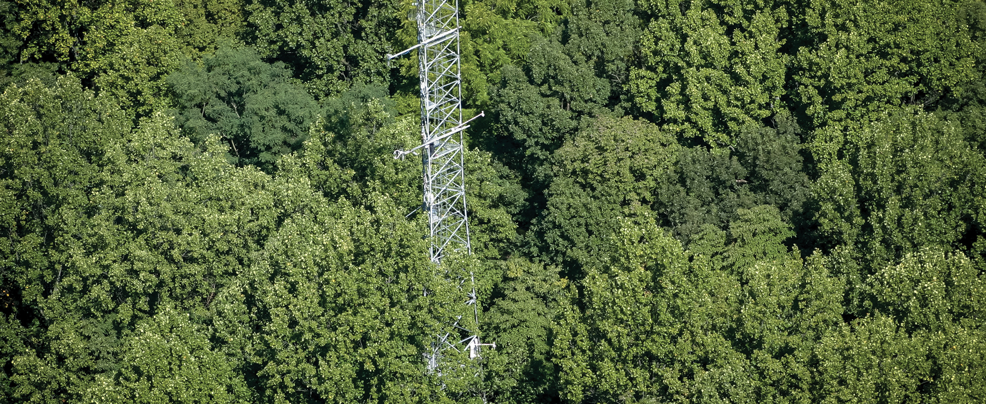
The movement of energy and matter within and among ecosystems controls how these systems function and the services they provide. This area of concentration investigates the mechanisms controlling ecosystem behavior from a micro to a macro scale, including the impacts of anthropogenic emissions of greenhouse gases.

Members of FES are studying the complexities of terrestrial ecosystems and the interactions between ecosystems and the atmosphere. One challenge is to quantify changes in biogeochemical cycles and forest characteristics, diagnose the causes of change, and develop predictions of how human activities may affect the global environment in the future. This involves understanding biogeochemical cycles from the scale of decomposing logs to the role of clouds in the ecological structure and function of forests.

Faculty Research Programs

The mission of the Terrestrial Ecosystem Research and Regional Analysis group (TERRA-PNW) is to quantify and understand the response of terrestrial ecosystems to natural and human-induced changes such as climate, wildfire and land management practices. Our lab has diverse interests that share a common focus: understanding the dynamics of land-based ecological communities. Our insights into climate and disturbance effects on ecological processes and global change are generated primarily by research on forest, woodland and shrubland ecosystems.
The Laboratory for Applications of Remote Sensing in Ecology (LARSE) is a joint research effort of the USDA Forest Service, PNW Research Station, and the OSU College of Forestry's Department of Forest Ecosystems and Society. LARSE emerged from an array of related remote sensing research projects focused on terrestrial ecology problems.
This activity began in 1989 with a concentration on using digital imagery to characterize forest structure in the Pacific Northwest Douglas-fir/western hemlock zone. Within a few short years, Landsat-based maps of forest structure were being directly incorporated into ecological analyses and models operating at landscape to regional scales. LARSE regularly employs between 10 to 20 scientists in a variety of positions, including permanent staff, post-docs, faculty research assistants, graduate students, student workers, and international scholars. Also, there are a number of full-time scientists not directly supported by the Lab that actively collaborate on LARSE research projects.
We regularly use Landsat to characterize change across the full time series length from 1972-present, with a national focus across all lands and cover types. We were early adopters of lidar data to derive detailed forest structure characteristics, and developed innovative methods for scaling between field measurements and MODIS data using Landsat imagery. Because integration across datasets is the future of remote sensing applications in ecology, an important current focus is complementary blending of lidar, Landsat, MODIS, and other datasets.
Remaining firmly rooted to the ground, LARSE research routinely incorporates field data and our scientists maintain a strong connection to the ecosystems in which they work. Applications include monitoring of natural resources, modeling of carbon flux and biodiversity, and spatially explicit scaling of ecological measurements and knowledge. The scope of activities and data types used continue to expand.

The mission of the H.J. Andrews Experimental Forest is to support research on forests, streams, and watersheds, and to foster strong collaboration among ecosystem science, education, natural resource management, and the humanities. Located in the western Cascade mountains of Oregon, the 16,000-acre site is administered cooperatively by Oregon State University, the USDA Forest Service's Pacific Northwest Research Station, and the Willamette National Forest.
The Andrews Forest has been a US Forest Service Experimental Forest since 1948, and a National Science Foundation Long-Term Ecological Research (LTER) site since 1980. Facilities, including labs, offices, and housing, are available for research and workshop use. Researchers and graduate students interested in conducting work at the Andrews Forest are welcomed and encouraged—participants benefit from a rich data history and from collaborations across disciplines. See the Andrews Forest webpage, http://andrewsforest.oregonstate.edu, for ways to connect. Andrews Forest Facebook. Andrews Forest Newsletter. Andrews Forest webcam.

TERRA - PNW

The mission of the Terrestrial Ecosystem Research and Regional Analysis group (TERRA-PNW) is to quantify and understand the response of terrestrial ecosystems to natural and human-induced changes such as climate, wildfire and land management practices. Our lab has diverse interests that share a common focus: understanding the dynamics of land-based ecological communities. Our insights into climate and disturbance effects on ecological processes and global change are generated primarily by research on forest, woodland and shrubland ecosystems.

LARSE

The Laboratory for Applications of Remote Sensing in Ecology (LARSE) is a joint research effort of the USDA Forest Service, PNW Research Station, and the OSU College of Forestry's Department of Forest Ecosystems and Society. LARSE emerged from an array of related remote sensing research projects focused on terrestrial ecology problems.

H.J. Andrews Experimental Forest and Long-Term Ecological Research Site

The mission of the H.J. Andrews Experimental Forest is to support research on forests, streams, and watersheds, and to foster strong collaboration among ecosystem science, education, natural resource management, and the humanities. Located in the western Cascade mountains of Oregon, the 16,000-acre site is administered cooperatively by Oregon State University, the USDA Forest Service's Pacific Northwest Research Station, and the Willamette National Forest.